| Estimated Maximum Intensity: |
III in Caguas, PR
|
| Date: |
February 17, 2014 01:56:04 UTC
February 16, 2014 21:56:04 Local Time |
| Region: |
East Region of Puerto Rico |
| Distances: |
6.04 Km South of Gurabo,PR
6.83 Km North of San Lorenzo,PR
21.71 Km South-Southeast of San Juan,PR
|
| Magnitude: |
2.98 Md |
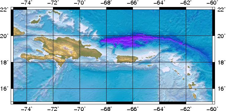
| Location: |
Latitude:18.2188 Longitude:-65.9698 |
| Depth: |
8 Km |
| Tsunami Warning Level: |
No Warning, Advisory or Watch is in effect for Puerto Rico and the Virgin Islands
|
| Issued date and time : |
2014-02-16 22:44:12 |
| ID: |
20140217015559 |
|