| Estimated Maximum Intensity: |
II in
|
| Date: |
February 27, 2017 01:04:52 UTC
February 26, 2017 21:04:52 Local Time |
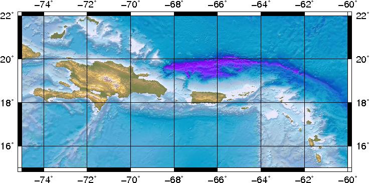
| Region: |
DOMINICAN REPUBLIC REGION |
| Distances: |
36.94 Km South-Southeast of San Fco. de Macoris,DR
55.39 Km East of La Vega,DR
341.04 Km West-Northwest of Mayagüez,PR
|
| Magnitude: |
4.8 Ml |
| Location: |
Latitude:19.0 Longitude:-70.1 |
| Depth: |
69 Km |
| Tsunami Warning Level: |
No Warning, Advisory or Watch is in effect for Puerto Rico and the Virgin Islands
|
| Issued date and time : |
2017-02-27 01:21:05 |
| ID: |
20170227010452 |
|