| Estimated Maximum Intensity: |
II in Maricao, PR
|
| Date: |
January 10, 2019 18:15:12 UTC
January 10, 2019 14:15:12 Local Time |
| Region: |
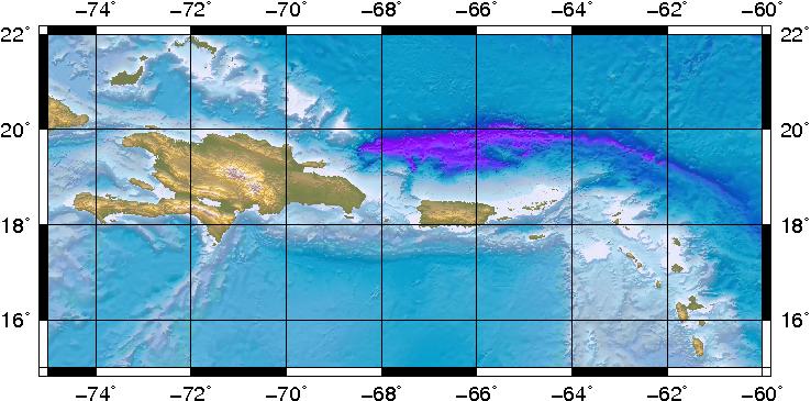
Septentrional Fault Zone |
| Distances: |
36.76 Km North-Northwest of Punta Cana,DR
56.11 Km North of Higüey,DR
195.77 Km West-Northwest of Mayagüez,PR
|
| Magnitude: |
3.26 Md |
| Location: |
Latitude:19.0941 Longitude:-68.6456 |
| Depth: |
108 Km |
| Tsunami Warning Level: |
No Warning, Advisory or Watch is in effect for Puerto Rico and the Virgin Islands
|
| Issued date and time : |
2019-01-10 14:54:02 |
| ID: |
20190110181515 |
|