| |
| Earthquake Details |
| |
| Estimated Maximum Intensity: |
I
|
| Date: |
April 17, 2012 19:03:55 UTC
April 17, 2012 15:03:55 Local Time |
| Region: |
EAST OF SOUTH SANDWICH ISLANDS |
| Distances: |
5318.11 Km East of Coral Bay, St. John,USVI
9728.78 Km Southeast of Montserrat,UK
10107.06 Km Southeast of San Juan,PR
|
| Magnitude: |
6.2 Mb |
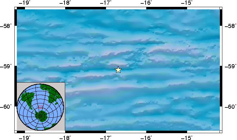
| Location: |
Latitude:-59.099 Longitude:-16.693 |
| Depth: |
1 Km |
| Tsunami Warning Level: |
No tsunami threat for Puerto Rico and the Virgin Islands
|
| Issued date and time : |
2012-04-17 15:23:39 |
| ID: |
20120417190357 |
|
|
|
| |
| |
|


