| Estimated Maximum Intensity: |
III in San Juan, PR
|
| Date: |
May 27, 2012 07:45:00 UTC
May 27, 2012 03:45:00 Local Time |
| Region: |
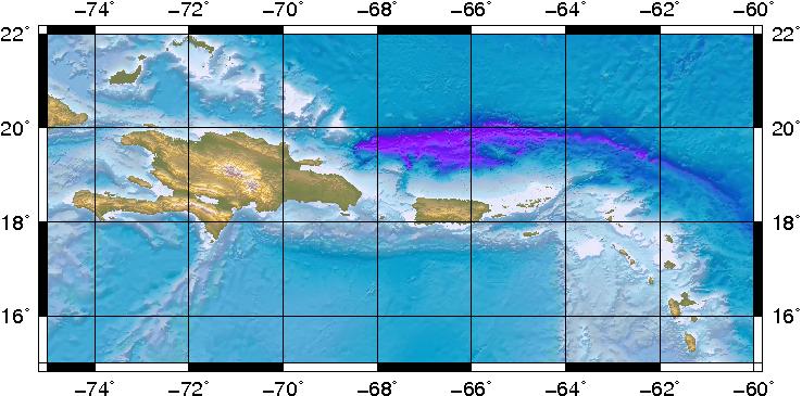
Virgin Islands Basin |
| Distances: |
26.67 Km South-Southeast of Charlotte Amalie, St. Thomas,USVI
43.19 Km Southwest of Road Town, Tortola,BVI
134.96 Km East-Southeast of San Juan,PR
|
| Magnitude: |
4.30 Md |
| Location: |
Latitude:18.113 Longitude:-64.868 |
| Depth: |
4 Km |
| Tsunami Warning Level: |
No tsunami threat for Puerto Rico and the Virgin Islands
|
| Issued date and time : |
2012-05-27 04:33:56 |
| ID: |
20120527074459 |
|