| |
| Earthquake Details |
| |
| Estimated Maximum Intensity: |
I
|
| Date: |
January 29, 2026 07:30:40 UTC
January 29, 2026 03:30:40 Local Time |
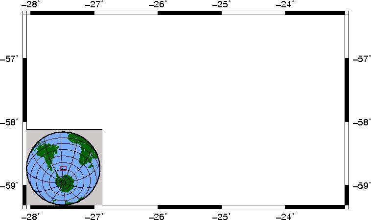
| Region: |
SOUTH SANDWICH ISLANDS REGION |
| Distances: |
4372.57 Km East of Coral Bay, St. John,USVI
9137.19 Km Southeast of Montserrat,UK
9491.01 Km Southeast of Ponce,PR
|
| Magnitude: |
6.00 mww |
| Location: |
Latitude:-57.814 Longitude:-25.565 |
| Depth: |
74.7 Km |
| Tsunami Warning Level: |
No Warning, Advisory or Watch is in effect for Puerto Rico and the Virgin Islands
|
| Issued date and time : |
2026-01-29 03:59:07 |
| ID: |
20260129073040 |
|
|
|
| |
| |
|


