| Estimated Maximum Intensity: |
I
|
| Date: |
February 19, 2026 04:38:04 UTC
February 19, 2026 00:38:04 Local Time |
| Region: |
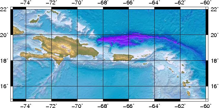
Eastern Dominican Republic |
| Distances: |
62.06 Km South-Southeast of La Romana,DR
72.37 Km South-Southeast of Higüey,DR
203.13 Km West of Mayagüez,PR
|
| Magnitude: |
3.75 Md |
| Location: |
Latitude:17.9846 Longitude:-68.936 |
| Depth: |
99 Km |
| Tsunami Warning Level: |
No Warning, Advisory or Watch is in effect for Puerto Rico and the Virgin Islands
|
| Issued date and time : |
2026-02-19 01:16:11 |
| ID: |
20260219043801 |
|