| Estimated Maximum Intensity: |
I
|
| Date: |
April 02, 2026 21:35:21 UTC
April 02, 2026 17:35:21 Local Time |
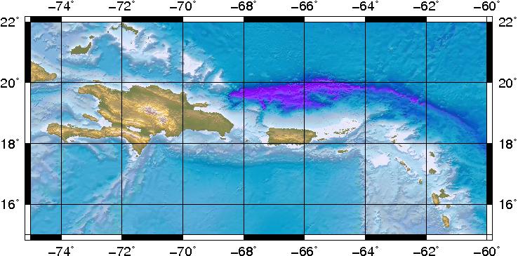
| Region: |
Virgin Islands Platform |
| Distances: |
10.17 Km West of Road Town, Tortola,BVI
27.05 Km East-Northeast of Charlotte Amalie, St. Thomas,USVI
148.45 Km East of San Juan,PR
|
| Magnitude: |
3.66 Md |
| Location: |
Latitude:18.4033 Longitude:-64.713 |
| Depth: |
130 Km |
| Tsunami Warning Level: |
No Warning, Advisory or Watch is in effect for Puerto Rico and the Virgin Islands
|
| Issued date and time : |
2026-04-02 18:30:34 |
| ID: |
20260402213513 |
|